

Precision You Can Trust,
Expertise You Can Count On

.jpg)
Services
Property Boundary Survey
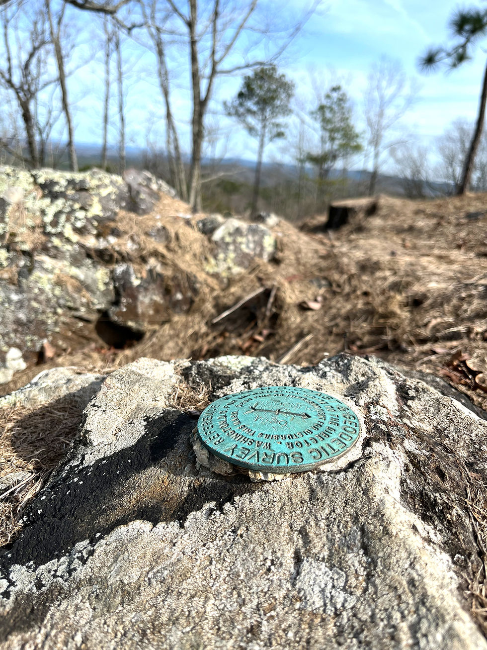
A survey of property, the primary purpose of which includes, but is not limited to, determining the perimeters of the property being surveyed by establishing in the first instance original property lines, or by retracing the lines and corners of previously established property lines. A property boundary survey is a professional opinion on the physical location of property lines based on appropriate boundary law principles governed by the facts and evidence gathered and evaluated during the course of the survey. A property boundary survey may further include describing and locating fixed improvements, platting or dividing property and preparing descriptions of property. A property boundary survey includes the setting or recovery of corner monumentation. Any map of survey showing property lines where a property boundary survey was not performed shall have the following note: “THIS IS NOT A PROPERTY BOUNDARY SURVEY”.
ALTA
In simple terms, an Alta Survey is a detailed land survey that satisfies the minimum requirements of the American Land Title Association (ALTA) and the National Society of Professional Surveyors. It provides highly accurate information about the boundaries, easements, improvements, and potential risks associated with a property. The purpose of an Alta Survey is to assist in commercial real estate transactions by ensuring that buyers have full knowledge of what they are purchasing and any title issues that may exist. This type of survey is typically conducted by licensed surveyors with expertise in evaluating properties for commercial transactions.
Hydrographic Survey
A survey having for its principle purpose the determination of data relating to bodies of water and which may consist of the determination of one or several of the following classes of data: depth of water and configuration of bottom, directions and force of current, heights and times and water stages, and location of fixed objects for survey and navigation purposes.
Aerial/Photogrammetry
The process of capturing images and stitching them together to create a digital model of the physical world.
Founded by Jimmy L. Mitchell, PLS, an industry veteran with over 14 years of experience in surveying and mapping, Mitchell Surveying and Mapping LLC was formed with a desire to provide accurate and thorough surveying and mapping services paired with excellent customer service. With experience in utility, transportation, environmental, and private sectors across multiple states we have the experience to complete your project. Jimmy obtained a bachelor’s degree in Surveying and Geomatic Sciences from Troy University in 2010.
Meet the Owner

SATISFIED CLIENTS

.png)
.png)


